CMIP6 Multi-Model Ensembles
We use the latest Coupled Model Intercomparison Project Phase 6 data with dynamic downscaling—turning global models into local projections your operation can act on.

Turn global models into neighborhood-scale projections—for adaptation, ESG compliance, and resilience across assets, infrastructure, and logistics over the coming decades.
Capabilities
From CMIP6 ensembles to vulnerability maps—we translate global trends into local, actionable insights for your asset portfolio.
We use the latest Coupled Model Intercomparison Project Phase 6 data with dynamic downscaling—turning global models into local projections your operation can act on.
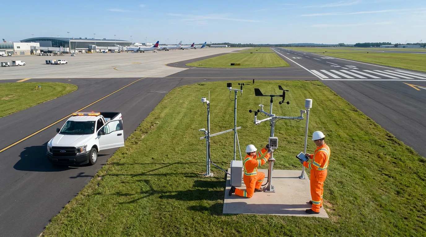
Overlay high-resolution climate projections—temperature, rainfall, and sea level—directly onto client asset maps.

Go beyond a single forecast—thousands of simulated scenarios to determine the true probability of rare extreme events.
40+ years of hindcast to separate natural variability from anthropogenic signals—a solid ground truth for projecting the future.

Use Cases
Assets, infrastructure, supply chains, and ESG reporting—from disclosure to engineering across 2030–2080 horizons.
Quantify exposure of factories, terminals, and real estate to chronic and acute hazards—sea level rise, extreme heat, and flood frequency from 2030 to 2080.
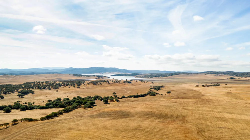
Convert global projections into sub-5 km regional layers to prioritize assets, infrastructure, and territories facing the highest real climate risk.
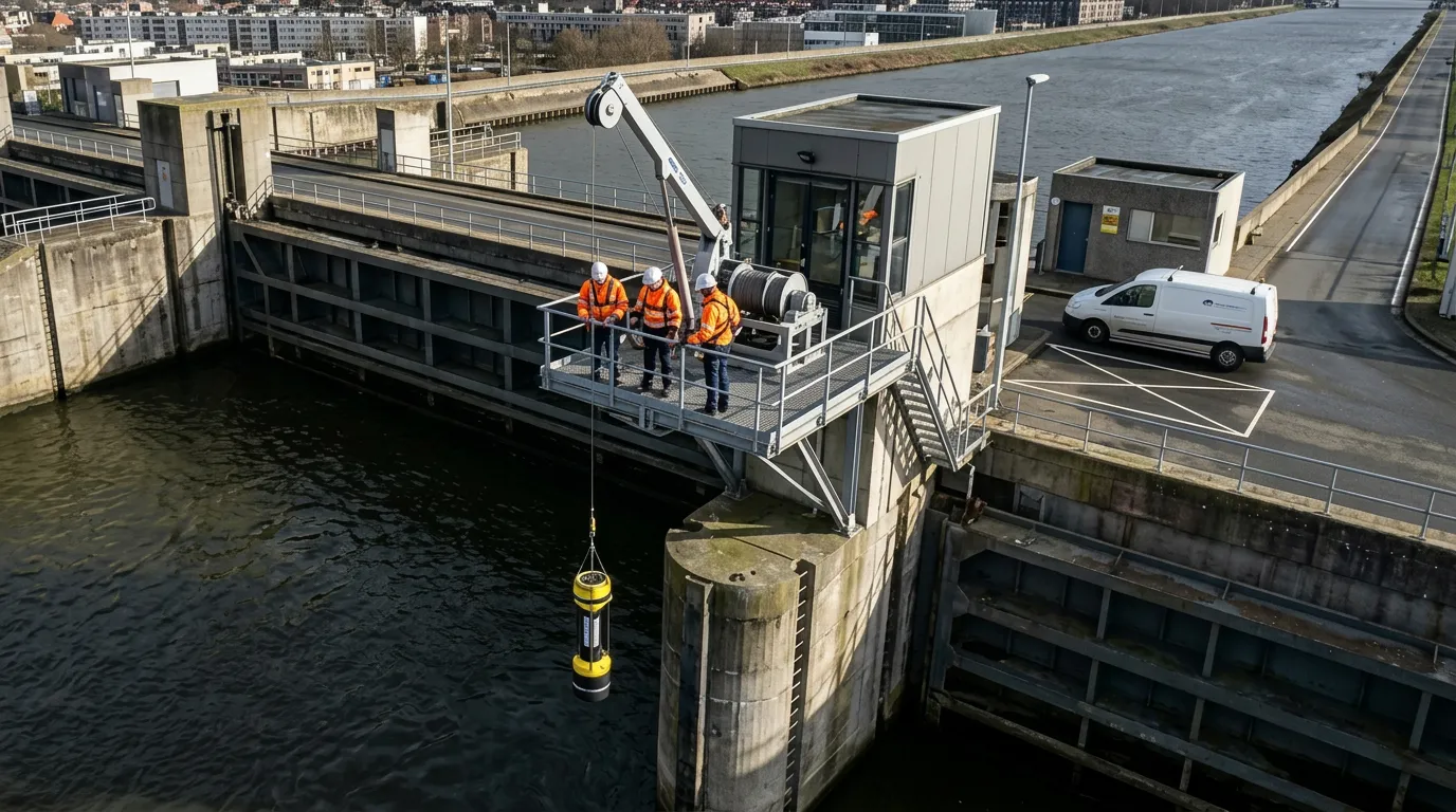
Simulate extreme event return periods—such as 1-in-100-year floods—under warming scenarios to inform dams, bridges, and drainage design.
Analyze climate exposure of logistics nodes and raw material sources—anticipating disruptions in global trade flows.
Scientifically validated indicators for sustainability reports—water availability, thermal stress, and carbon sequestration potential.