SOPHIA® // Maritime & Port

Better insight into weather and sea conditions. More confidence in operations.

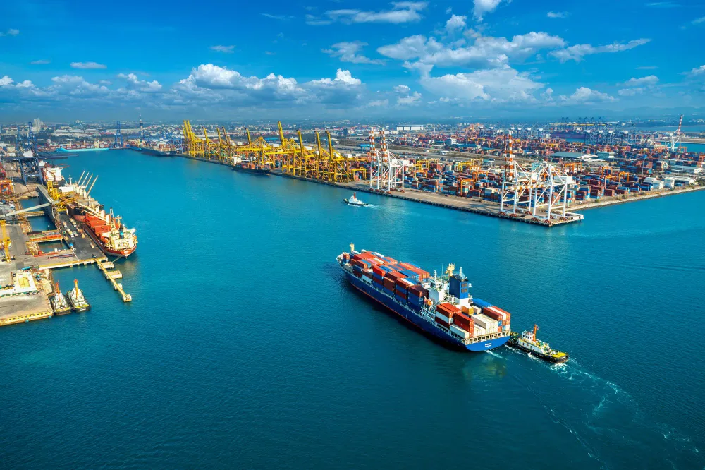
We support ports, terminals and maritime operations with metocean forecasts, observations and regional modeling tailored to each operation. SOPHIA® combines artificial intelligence, regional modeling and observed data to refine forecasts for each application.

Applied science
Meteorology, oceanography and numerical modeling expertise.
Integrated data
Forecasts, observations and analyses for each context.
Flexible solutions
Products and studies tailored to operational needs.

Capabilities

Metocean science for every phase of the operation

From environmental characterization for engineering projects to real-time operational monitoring—the capabilities that support safe decisions.

  • Multiscale Meteorological and Oceanographic Forecasting

    Local, regional, and global forecasts across short, medium, and long term—wind, waves, currents, tides, and visibility at the port's critical points: approach channel, berths, and anchorage areas.


    Team in a control room tracking metocean forecasts across multiple monitors
  • Design Criteria for Engineering Projects

    In-depth environmental data analysis to size channels, berths, breakwaters, and mooring systems—the technical basis for projects, permitting, and port expansion.

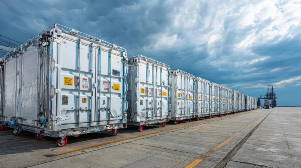
    Port terminal structure used as a reference for design criteria
  • Observed Data Analysis

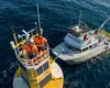
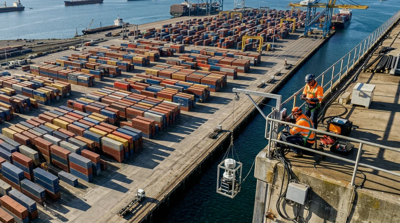
    Installation and maintenance of metocean stations, buoys, and sensors, with real-time telemetry integrated with satellite data—validating every forecast against what is happening at the quay right now.

    Technicians maintaining a solar-powered metocean buoy alongside a support vessel in open water
  • High-Resolution Hydrodynamic Modeling

    Simulation of currents at different depths, waves, winds, and tides, calibrated with local bathymetry—connecting ocean conditions to what happens inside the port basin.

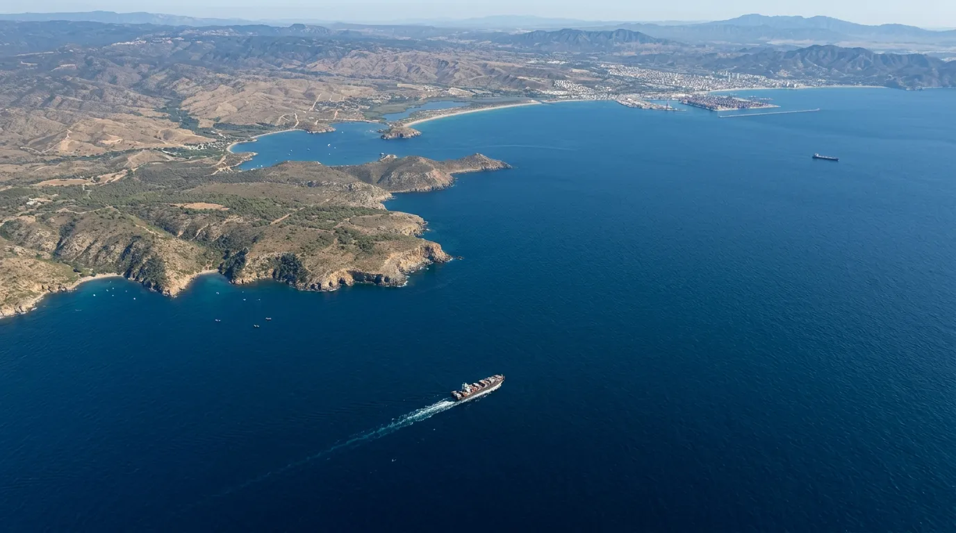
    Aerial view of the ocean surface with currents and wave wake
  • Hindcast and Local Climate Studies

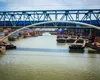
    Reconstruction of historical wind, radiation, rainfall, and river-flow series to quantify extremes and seasonality—supporting operational planning, dredging, and risk management.

    Cargo barges on a river canal under water-regime analysis

Use Cases

Make daily decisions with AtmosMarine's help

Monitoring, bulletins, and alerts that translate metocean data into operational decisions at the port.

  • Berthing and Maneuvering Safety

    Anticipate safe windows for maneuvering, berthing, and on-board operations with wind, current, wave, and tide forecasts—reducing downtime and risk in critical operations.

  • Crane and Yard Operations

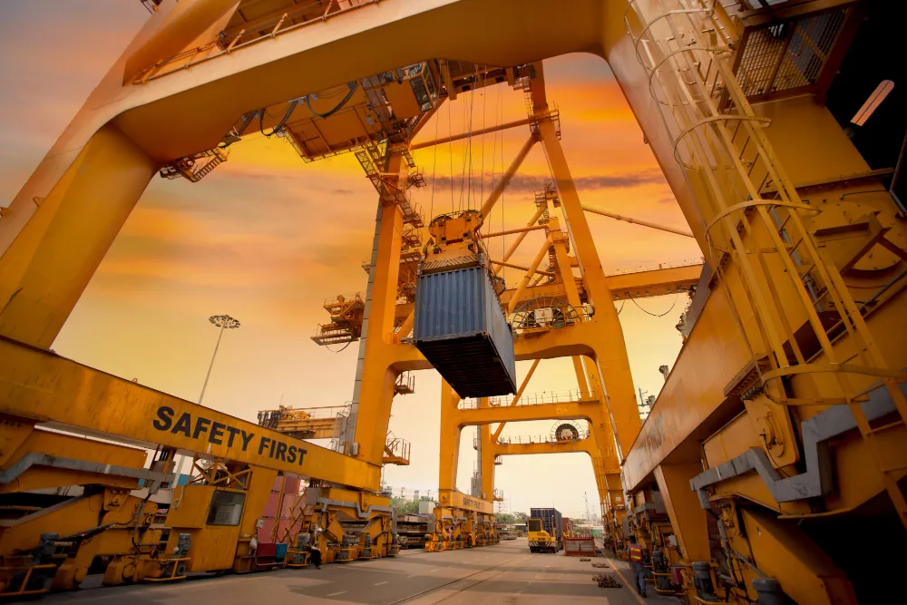
    Wind and gust alerts calibrated to your terminal's thresholds, with lead time to reschedule lifting, yard handling, and time-sensitive operations.

  • Tactical Route & Fuel Optimization

    Utilize ROMS current vectors and SWAN wave modeling to identify the path of least resistance. By avoiding counter-currents and high-energy head seas, vessels can optimize transit speeds, supporting fuel and emissions assessments during the approach.

  • Operations Center for Pilots and Captains

    Bulletins, dashboards, alarms, and a weather portal combined into one operating routine to support maneuvering, berthing, and waiting decisions when weather turns.

Ready to turn weather into safety and efficiency at your port?