Soil Saturation and Hydrological Modeling
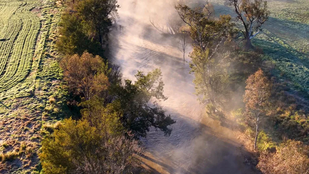
We simulate soil moisture capacity to anticipate landslide and flood triggers—going far beyond what isolated rain gauges can capture.
We work with public institutions to integrate observations, develop forecasts and communicate weather, climate and ocean information. SOPHIA® combines artificial intelligence, regional modeling and observed data to refine forecasts for each application.
Capabilities
From saturated soil to crisis bulletins—we translate climate, indices, and models into actionable information for municipalities and states.
We simulate soil moisture capacity to anticipate landslide and flood triggers—going far beyond what isolated rain gauges can capture.
We calculate specialized indices—THI for livestock, Angström for fire, and degree-days for agriculture—calibrated to the region's economy and territory.

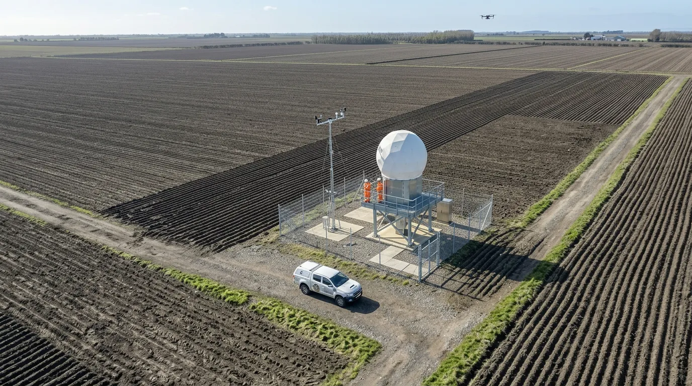
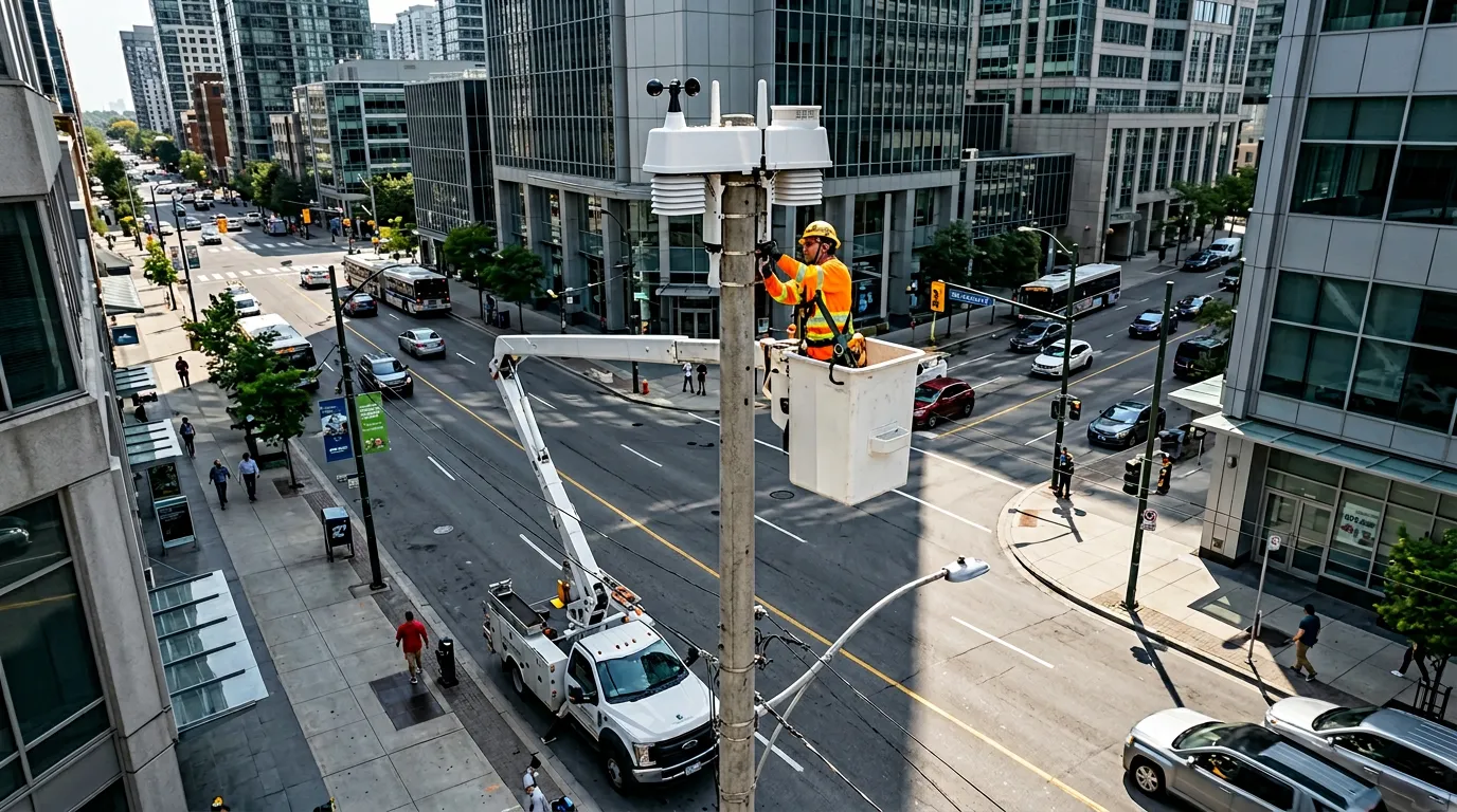
We connect proprietary weather stations, satellite data, and other observation sources to build a consistent territorial monitoring and decision-support foundation.

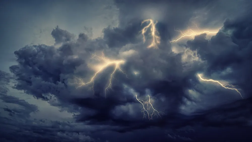
We synthesize rainfall, wind, lightning, and territorial vulnerability during active crises, supporting civil defense, fire services, and emergency command centers.
Use Cases
Platforms, training, alerts, and data integration that turn environmental observation into institutional decisions.
Customized portals that bring together forecasts, observations, analyses, indicators, and meteorological and oceanographic products to support state-level decisions. One example is the platform developed for the Government of Goiás, serving an economy strongly based on agribusiness.
Training in atmospheric modeling, wave modeling, meteorology, and oceanography to expand the technical autonomy of public-sector teams. AtmosMarine has delivered this type of training for the Brazilian Navy.
Alerts configured for the meteorological and oceanographic variables most relevant to each agency, with thresholds, communication channels, and protocols tailored to the operation.
Automatic integration of the agency's own stations into a web-based real-time monitoring platform, with visualizations, analyses, indicators, and operational tracking in one environment.
High-resolution modeling integrated with lightning, rainfall, and station data to anticipate flash floods, landslides, urban flooding, and other critical events across the territory.